Application Description
2GIS: Your Comprehensive Navigation and City Guide
2GIS empowers you with a comprehensive map featuring GPS navigation for drivers and pedestrians, real-time traffic updates, transit schedules, and an extensive city directory. Whether you're online or offline, our maps ensure you'll never lose your way.
Navigate with Confidence
With 2GIS, you'll feel at ease in any unfamiliar location:
- Effortlessly locate addresses, businesses, phone numbers, operating hours, and services
- Plan your journey by car, bus, subway, or on foot with our intuitive navigation
- Find building entrances and nearby parking facilities
Accurate and Detailed Maps
Our maps provide precise information on districts, buildings, streets, transit stops, gas stations, sports venues, and more.
GPS Navigation
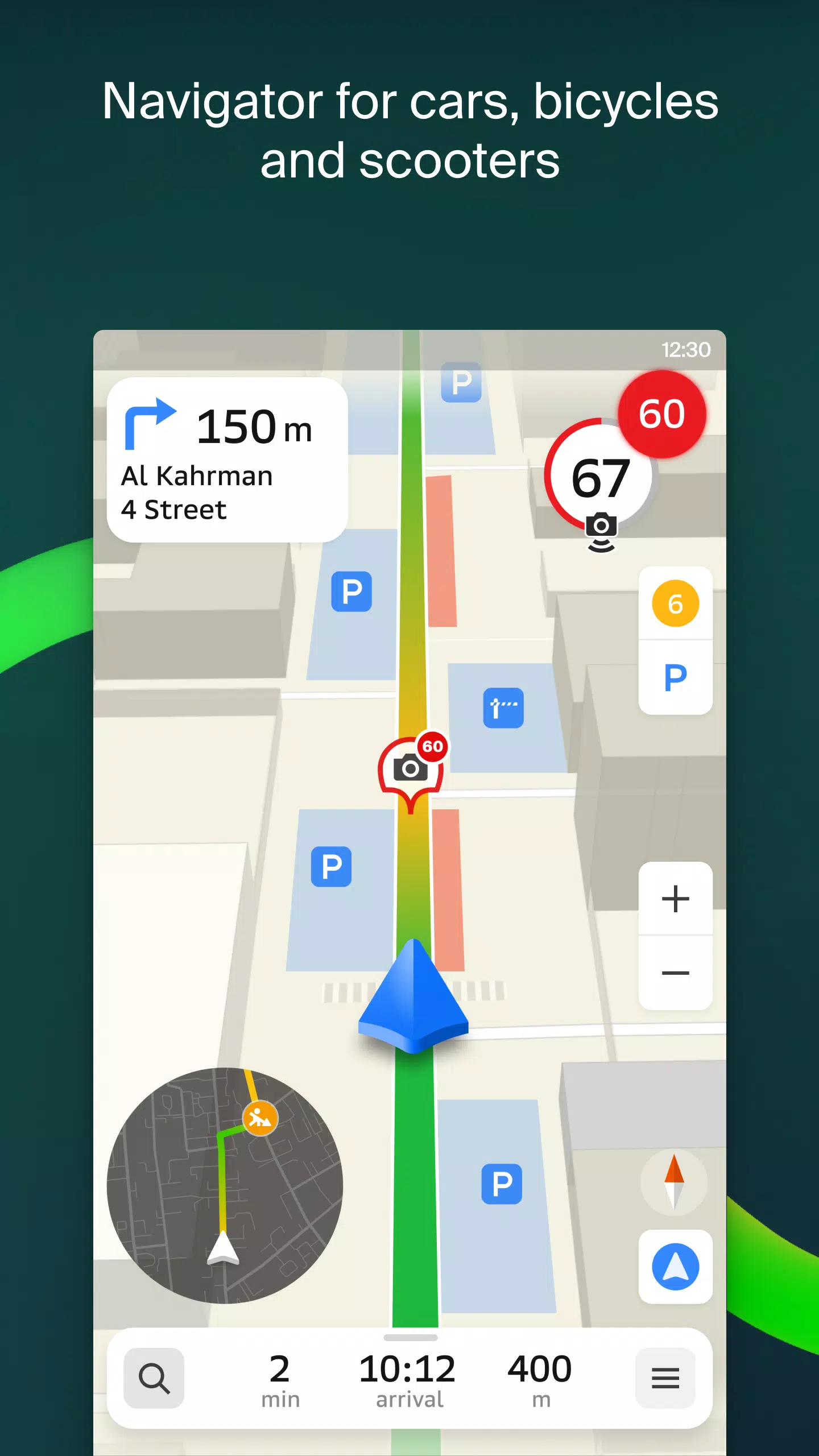
Our GPS navigation considers real-time traffic conditions, road signs, speed cameras, toll roads, and unpaved routes. It optimizes routes between cities and multiple destinations. Additionally, we offer a dedicated Android Auto app for seamless integration.
Live Location Sharing
Keep track of your loved ones' safety with our live location tracking feature. Share fun stickers and monitor battery levels. Control who you connect with and manage sharing settings as desired.
Road Events and Public Transit
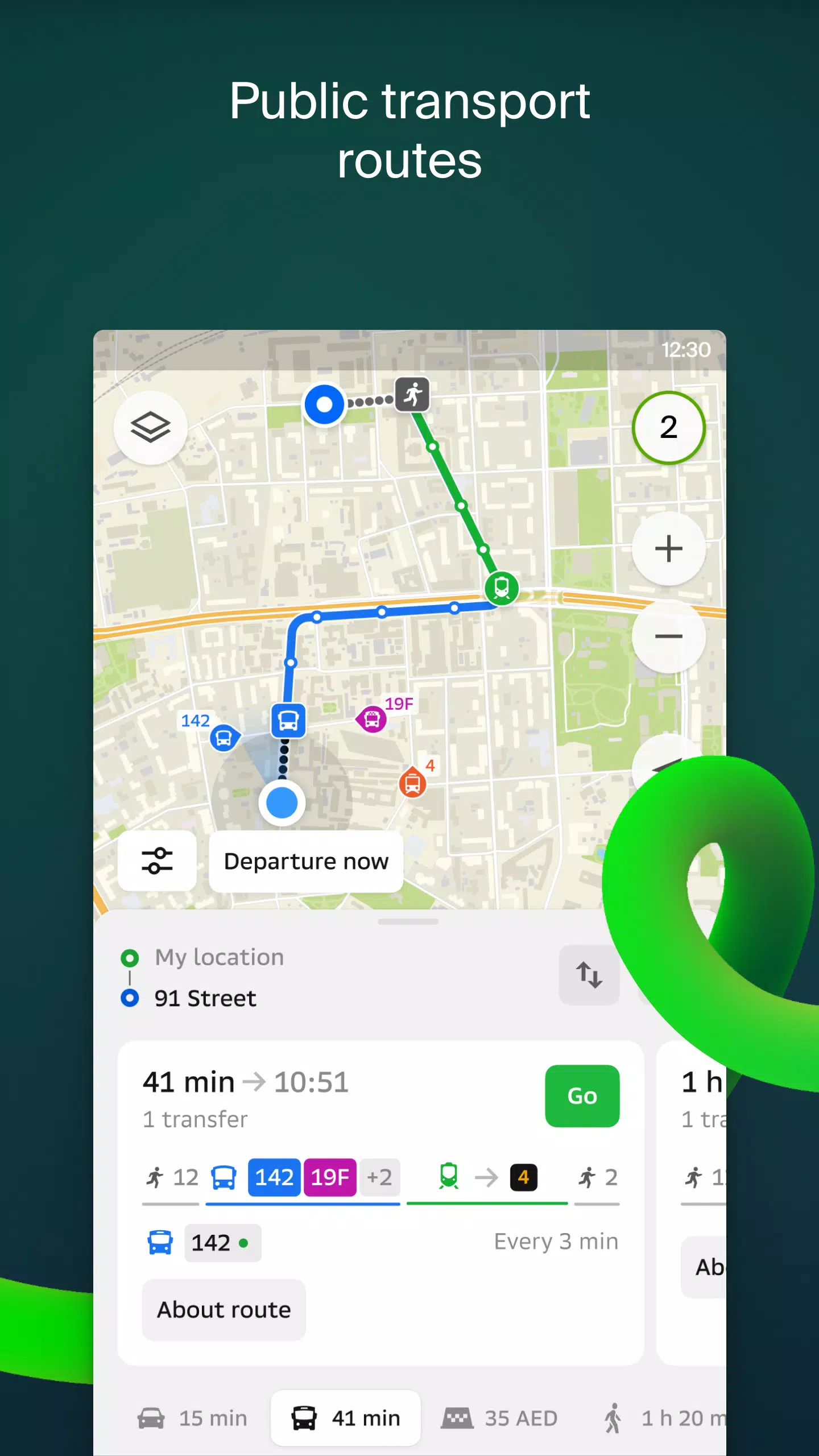
Stay informed with real-time updates on accidents, road closures, speed cameras, and user comments. 2GIS provides comprehensive public transit schedules and routes.
Walking Routes
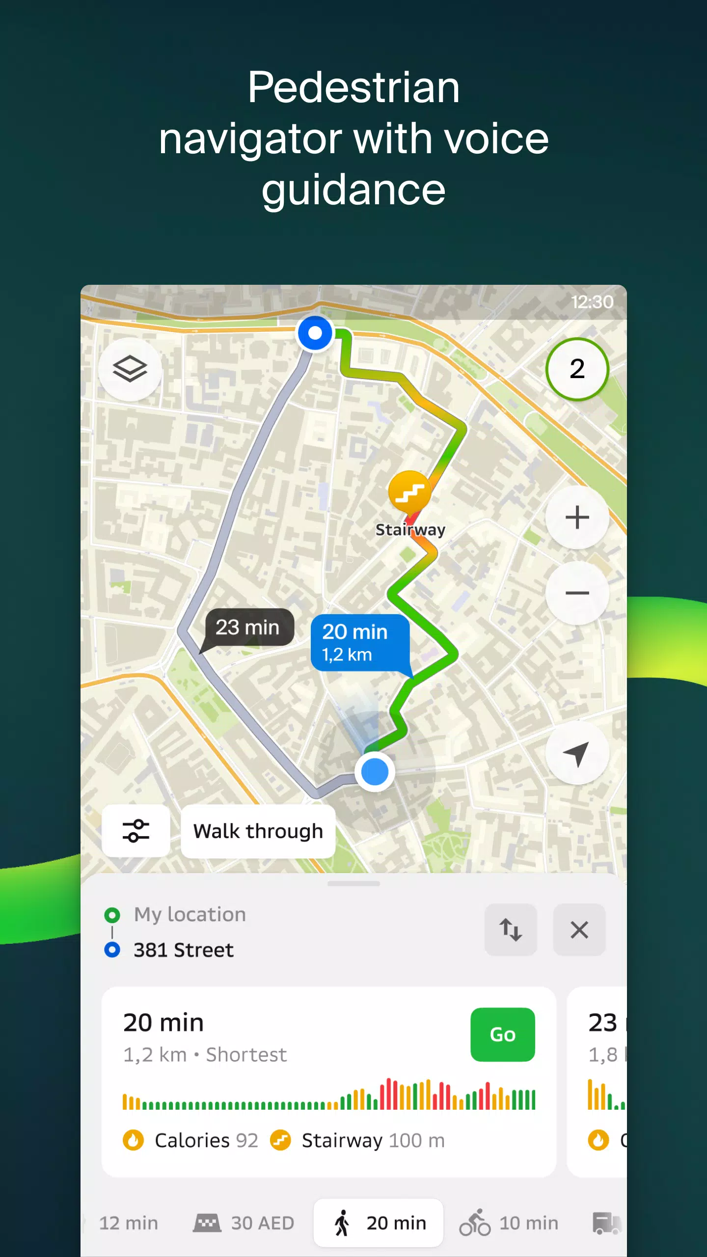
Our pedestrian navigation guides you through any walkable area. It operates seamlessly in the background and supports voice guidance.
Truck Navigation
Our cargo navigator tailors directions for trucks, considering vehicle and cargo specifications.
Comprehensive Directory
2GIS provides detailed information on addresses, entrances, and postal codes. Access phone numbers, operating hours, social media profiles, websites, and entrance locations. Users can contribute photos and reviews.
Travel Guide
Discover popular attractions, Wi-Fi hotspots, and more on our interactive map.
Wear OS Companion App
Our 2GIS Notifications companion app for Wear OS smartwatches enhances your navigation experience. View maps, receive turn-by-turn instructions, and get vibration alerts for upcoming turns or bus stops. The app automatically launches when you start navigation on your phone. Compatible with Wear OS 3.0 and later.
Available Maps:
- UAE: Dubai, Sharjah, Abu Dhabi, Al Ain, Ajam, Ras Al Khaimah, Fujairah, Umm Al Quwain, Dibba Al Fujairah, Khor Fakkan, Kalba, Al Salamh
- Russia: Moscow , Saint Petersburg, Novosibirsk, Ekaterinburg, Krasnoyarsk, Chelyabinsk, Ufa, Omsk, Kazan, Perm, Nizhny Novgorod, Sheregesh
- Belarus, Kazakhstan, Uzbekistan, Azerbaijan, Kyrgyzstan: Minsk, Pavlodar, Nursh, Aktau, Aktobe Caragan, Kokshetau, Kostanay, Osh, Baku, Tashkent
For support, please contact: [email protected]
Screenshot
Reviews
Apps like 2GIS: Offline map & navigation

