Application Description
Joining crowd-sourcing events through the Sea Level Rise app empowers you to actively participate in mapping the impact of flooding in your community. This tool is invaluable for documenting sea level rise and other flooding events, helping us all to better understand and address these critical issues.
Though sea level rise affects all who live in low-lying coastal areas, our journey began in Hampton Roads, Virginia. Thanks to the dedicated efforts of thousands of volunteers during our annual "Catch the King Tide" events, we've gathered vital data. Developed by Wetlands Watch, this app fosters a more informed and connected community, equipping us to stay ahead of rising sea levels.
By using the app, you can access user-generated insights on this global challenge and volunteer to collect street-level data crucial for understanding and addressing the problems sea level rise brings. Here's how you can contribute:
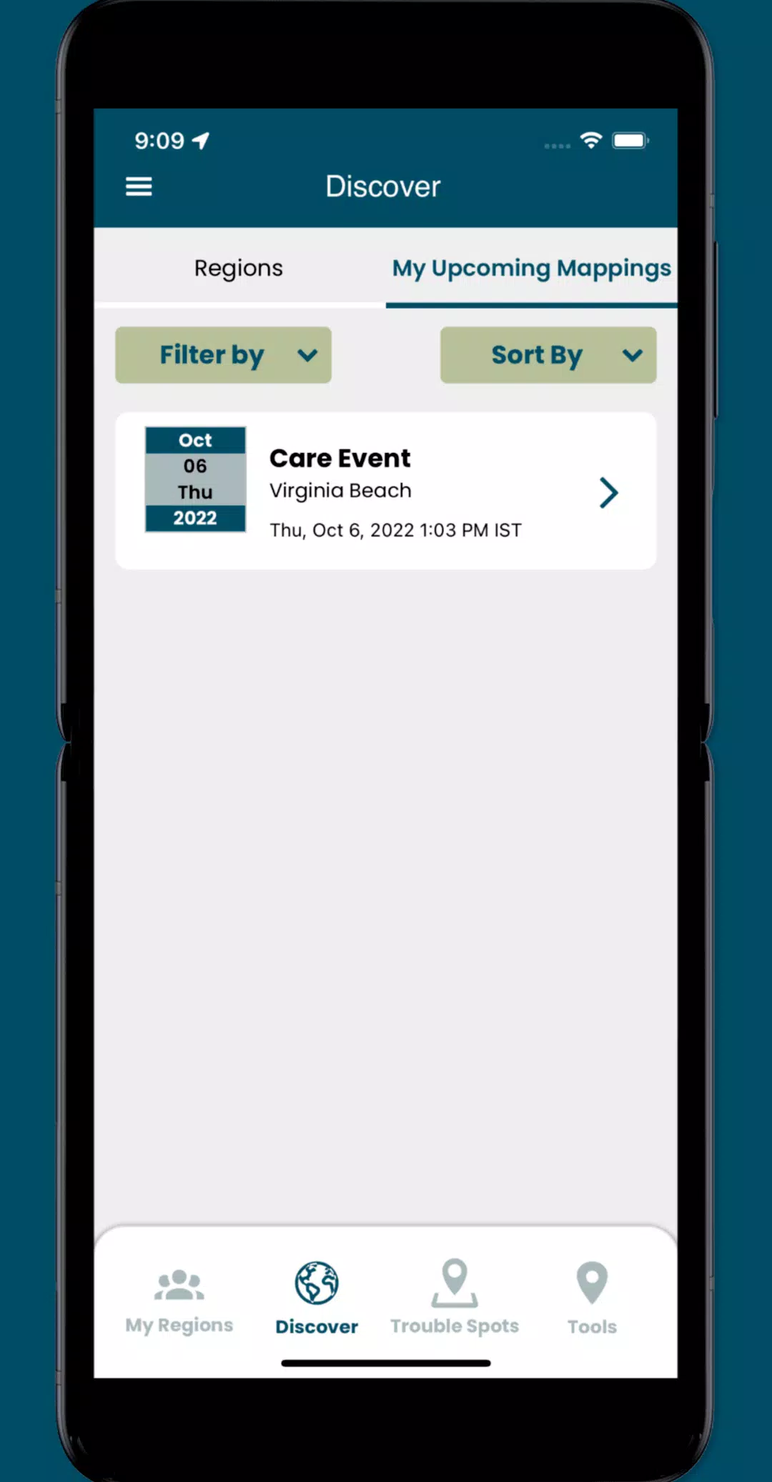
- Join crowd-sourcing events to gather the local data that researchers and civic leaders need but often lack.
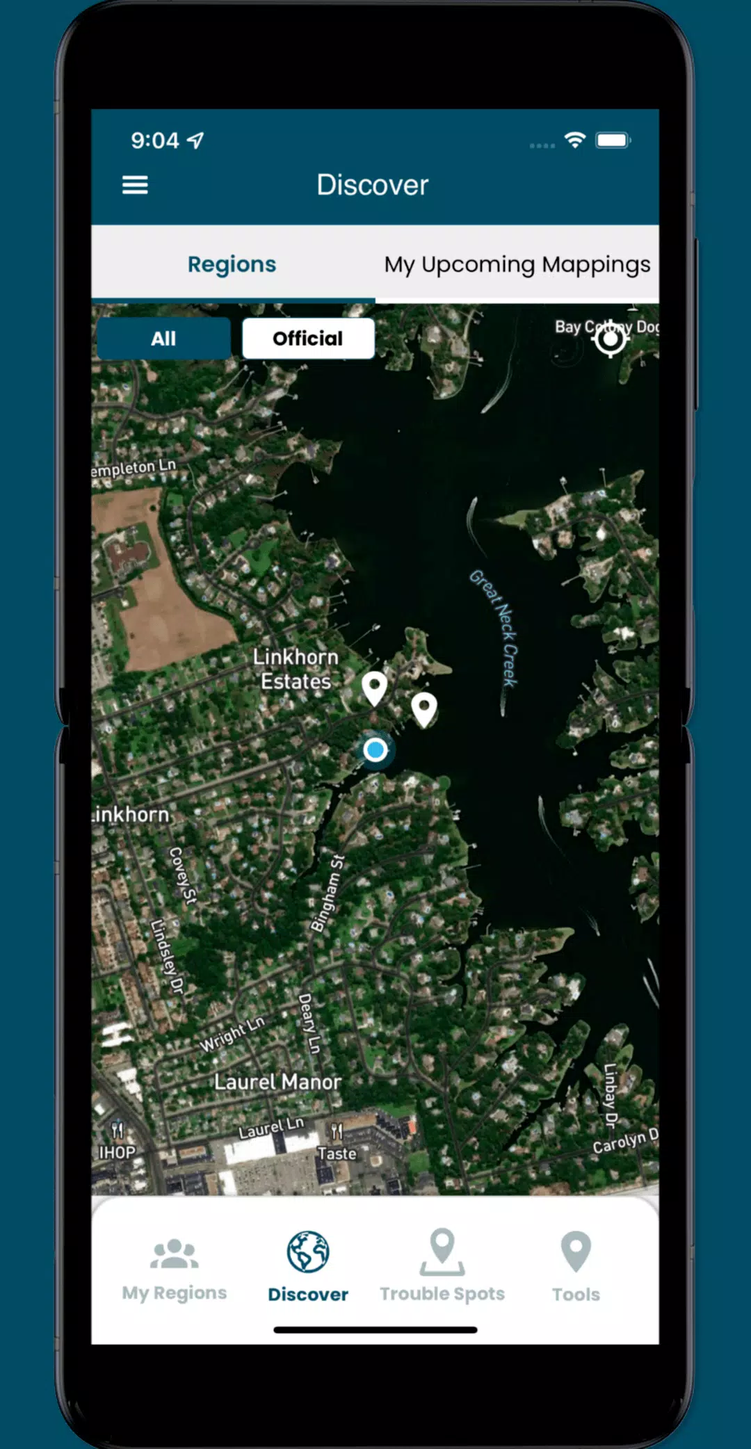
- Identify and log "Trouble" spots where high water disrupts travel during bad weather.
- Take and share photos to document the effects of flooding in your area.
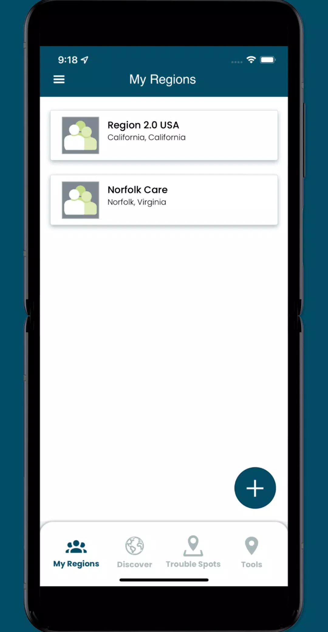
- Engage with specific collaboration spaces, or regions, to coordinate volunteers and plan mapping events.
What's New in Version 3.0.9
Last updated on Oct 19, 2024
Enhancements in this update include:
- Minor UI improvements for a smoother user experience.
- Resolution of several issues to enhance app functionality.
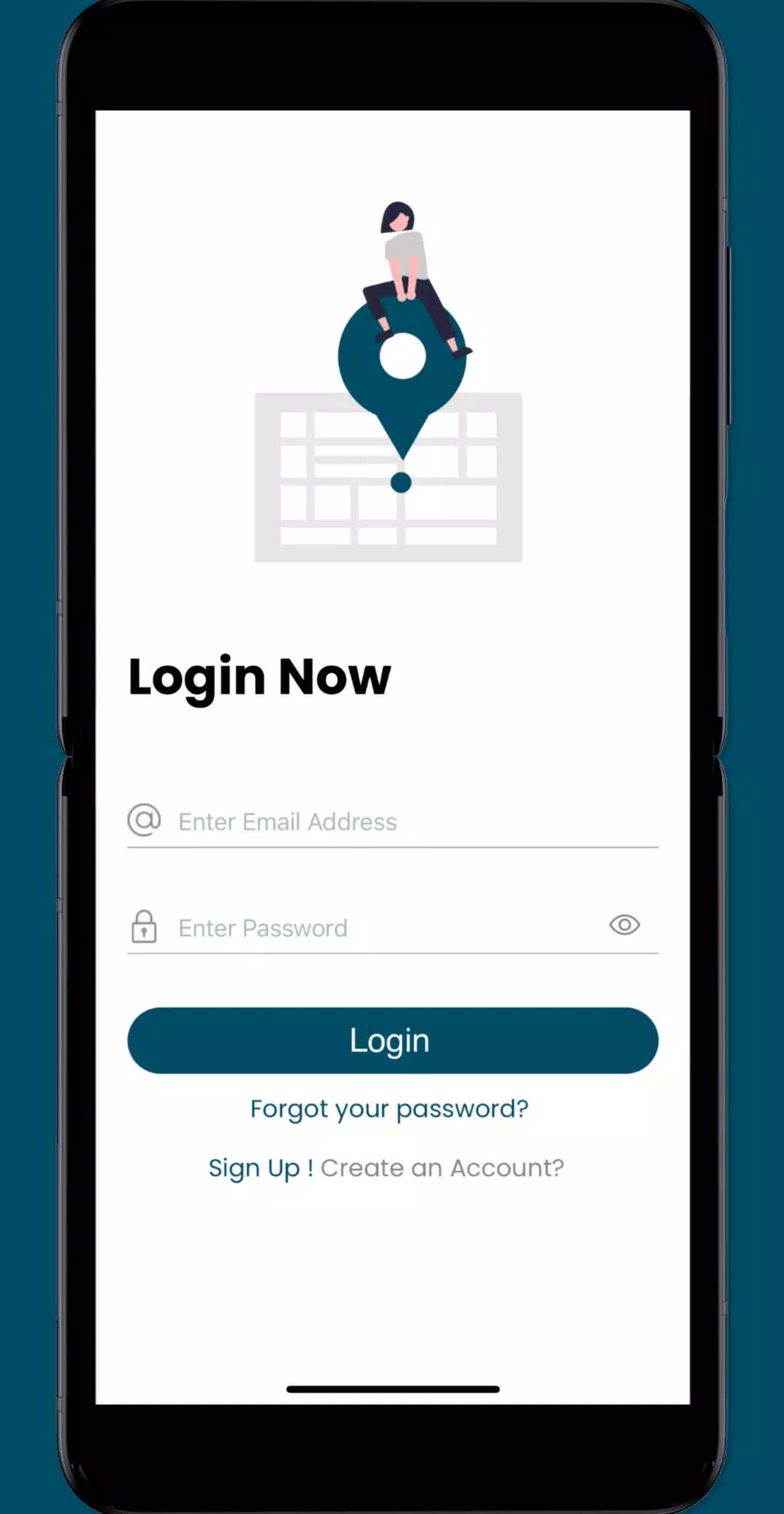
Screenshot
Reviews
Apps like Sea Level Rise